Hiking in Bastia and Cap Corse
Discover the hikes to enjoy in the Bastia / Cap Corse region!
Hiking in Bastia and Cap Corse: customs trail, villages and peaks between two seas
From the sky, Cap Corse looks like a granite finger stretching north for nearly 40 km, extending Bastia to the tip of Macinaggio. Its mountainous spine plunges almost directly into the sea on both sides: the Mediterranean to the west, the Tyrrhenian Sea to the east. This narrow relief makes Cap Corse a very distinctive hiking territory, where you can follow a coastal path carved into the cliff in the morning and climb to a summit offering simultaneous views of both shores in the afternoon, without ever straying far from the car or the campsite.
Our selection of hiking activities for Bastia / Cap Corse
Unfortunately no activities were found. Find more activities below!
Hikes
Other activities
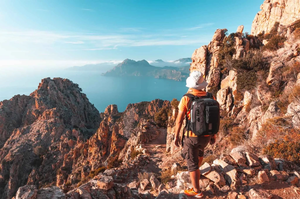

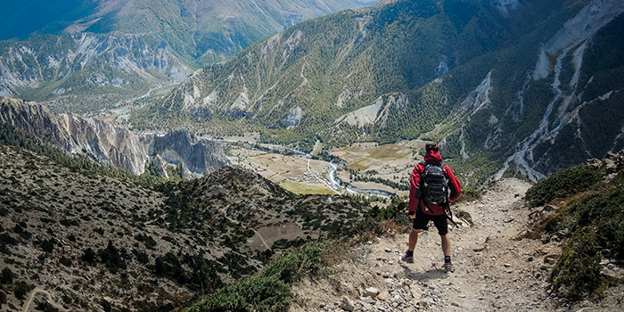
Bastia and Cap Corse, a peninsula to explore on foot
What sets hiking here apart is the variety concentrated in a relatively small area: coastal paths inherited from 19th-century customs officers, fishing villages clinging to coves, windswept rocky ridges, and old Genoese towers that once kept watch on the horizon against Barbary incursions. For a complete overview of hikes to do in Cap Corse, between coastal paths, ridge walks and routes through the villages, this diversity of terrain remains the best way to understand why the peninsula attracts so many walkers.
The customs officers' path: the iconic hike of Cap Corse
- Macinaggio, the starting point, a former smuggling port
- <0>Barcaggio<1>, the northernmost beach in Corsica
- <0>Tollare<1>, an isolated fishermen's hamlet
- <0>Centuri<1>, a lobster port at the tip of the Cape
This trail, originally laid out to monitor the coast and combat smuggling, now runs along the very tip of Cap Corse for about <0>19 km<1> between Macinaggio and Centuri, which is a little over <2>8 hours<3> of walking for the full route. It is divided into three distinct sections: from Macinaggio to <4><5>Barcaggio beach<6><7> (3 to 3.5 hours), from Barcaggio to Tollare (barely 45 minutes, the wildest portion), then from Tollare to <8><9>Centuri<10><11> (about 4 hours). Many hikers only do part of this route, as an out-and-back from Macinaggio or Barcaggio, which allows them to enjoy the site without committing to the whole thing.
<0>The villages of Cap Corse to discover while hiking<1>
The west coast of Cap Corse strings together a series of villages that lend themselves just as well to a simple stroll as to a longer hike linking several of them. At <0><1>Nonza<2><3>, the Paoline tower overlooks an impressive beach of black volcanic pebbles, accessible by a path leading down from the village perched on its cliff. Further south, toward Bastia, <4><5>Erbalunga<6><7> spreads out its colorful houses and its 16th-century Genoese tower around a small fishing port, on an easy coastal route from the neighboring communes. These villages, only a few kilometers apart on the map but separated by sometimes steep terrain, explain why hiking in Cap Corse so often alternates between stretches of coastal path and crossings through hamlets.
<0>A landscape shaped by vineyards and maquis<1>
Between the villages, the trails often pass through old vineyard terraces, particularly around Rogliano and the northern tip of the peninsula, where the Cap Corse vineyard benefits from almost permanent sunshine and exposure to sea winds. The rest of the route alternates with dense maquis of myrtle, strawberry trees, and heather, which is especially fragrant in spring and greatly reduces the available shade in summer. This alternation between cultivated plots and wild maquis also gives the trail its visual richness, very different from one slope of the peninsula to the other depending on sun exposure.
<0>The peaks of Cap Corse: Monte Stello and Serra di Pigno<1>
For those who prefer to gain some elevation, <0>Monte Stello<1> rises to <2>1,306 meters<3> and is the second-highest peak in the massif of the same name, behind Cima di e Follicce (1,324 m), which remains the highest point of Cap Corse. Its ascent offers, in clear weather, a simultaneous view of the two seas that frame the peninsula, a panorama rare enough to be worth mentioning. More accessible from Bastia, <4>Serra di Pigno<5>, recognizable by its telecommunications antennas, serves as the starting point for a ridge hike toward Cima di Gratera (1,024 m): about <6>5.2 km<7> and <8>254 meters of elevation gain<9> for a little over <10>2 hours<11> of walking, with plunging views over the bay of Bastia on one side and that of Saint-Florent on the other. To organize a hiking stay around these peaks, the <12><13>campsites in the Bastia area<14><15> offer a practical logistical base, just a few minutes from the road leading up to Serra di Pigno.
<0>The Genoese towers, landmarks along the way<1>
All along the coastline of Cap Corse, the Genoese towers built between the 15th and 17th centuries still dot the customs officers' trail and the surrounding ridges. Originally built to watch the sea and raise the alarm in case of incursion, they now serve as natural landmarks for hikers, often visible for several kilometers around from the heights. Some, such as the already mentioned Paoline tower in Nonza, remain accessible and integrated into the route, while others, more isolated on rocky points, are mainly admired from the ridge trails without it always being possible to approach them.
<0>Toward the Agriates desert from Cap Corse<1>
The west slope of Cap Corse, around Saint-Florent, opens directly onto the <0><1>Agriates desert<2><3>, that vast wild area of nearly 15,000 hectares that extends the coast toward Balagne. Many hikers thus combine an outing in Cap Corse with an excursion into the Agriates, usually on a separate day because the area is so exposed and devoid of shade. It is also one of the few points where the layout of the Corsican coastline makes it possible to string together several days of walking without leaving the seaside, an asset for itinerant hikers.
<0>Hiking as a family and for beginners<1>
Le Cap Corse offre plusieurs options simples pour une première sortie ou une randonnée en famille. La descente du village de Nonza vers sa plage de galets noirs, courte mais assez raide, reste une valeur sûre pour découvrir le site sans s'engager sur un itinéraire long. Autour d'Erbalunga, les chemins côtiers restent globalement plats et ombragés par endroits, avec la possibilité de s'arrêter à tout moment pour profiter du port ou d'une crique. Sur le sentier des douaniers, la portion entre Macinaggio et Barcaggio, la plus fréquentée et la mieux balisée, convient à des marcheurs peu expérimentés à condition de partir avec de l'eau en quantité suffisante, le tracé restant globalement exposé au soleil et au vent une fois sorti du couvert du maquis.
When to go hiking in Bastia and Cap Corse?
Spring and early autumn remain the most pleasant periods to explore Cap Corse, with moderate temperatures both on the coastal trails and on the ridges, and a particularly fragrant maquis between April and June. Summer is better suited to the villages and short stretches of the coastline at the very beginning or very end of the day, as the heat and lack of shade make the ridges and long sections of the customs trail more demanding during the middle of the day. In winter, wind remains the main factor to watch on the summits and exposed ridges, while the villages and coastal walks remain practicable almost all year round.
Other activities to combine with hiking
The terrain of Cap Corse also lends itself to other ways of discovering it, as a complement to a day of walking. A 4x4 hiking excursion, for example, allows you to cover the whole peninsula more quickly to identify the areas to explore later on foot, particularly on the tracks serving the most isolated hamlets inland.