Hiking in Balagne
Discover the hikes to enjoy in the Balagne region!
Hiking in Balagne: coastal trails, hilltop villages and the Bonifatu forest
Tucked between the Gulf of Galéria to the southwest and the Agriates Desert to the northeast, Balagne unfurls its paths between turquoise sea and granite ridges. It is one of the most contrasting regions of Haute-Corse for hiking: in a single day, you can walk along a fine sandy beach near Calvi or L’Île-Rousse, then climb up to a hilltop village on a mountainside, before reaching a laricio pine forest in the shade of the peaks by late afternoon. A complete playground, accessible both to families looking for a one-hour stroll and to seasoned hikers coming to tackle the legendary GR20.
Our selection of hiking activities for Balagne
Unfortunately no activity was found. Find more activities below!
Hikes
Other activities
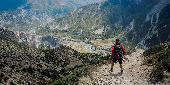
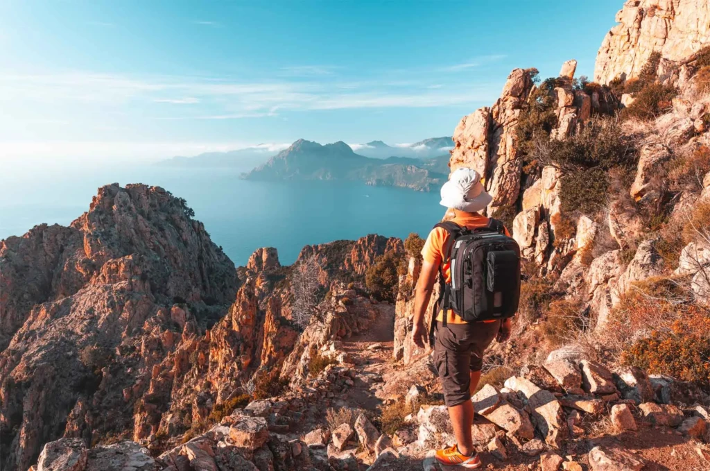
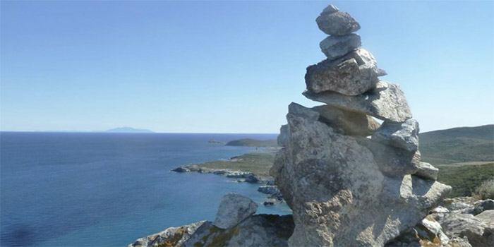
Balagne, a playground between sea and mountains
The region's reputation stems from its highly pronounced relief: the peaks of the hinterland, including Monte Grosso which rises to 1,937 metres, plunge almost directly into the Mediterranean, leaving little room for plains. This elevation gain concentrated over just a few kilometres explains the diversity of possible hikes, from the almost flat coastal path to technical ascents reserved for experienced walkers. In between, a dense network of mule tracks that once linked the inland villages to the fishing ports continues to be maintained and waymarked, offering terrain that is both wild and easy to access. For a broader presentation of the region's identity, between heritage, gastronomy and the landscapes of Balagne, this usefully complements the preparation of a hiking holiday.
The hilltop villages: hiking from hamlet to hamlet
- Sant'Antonino, a medieval village built on a granite spur
- <0>Pigna<1>, a village of Corsican crafts and music
- <0>Corbara<1>, one of the oldest villages in Balagne
- The maquis and olive groves that link these hamlets together
It is undoubtedly the most recognizable signature of hiking in Balagne: these villages built on hillsides, just a few kilometers from the coast, visually answering one another from one promontory to the next. <0><1>Sant'Antonino<2><3> occupies the most spectacular position, at around <4>500 meters of altitude<5>, with its vaulted alleyways arranged in a circle around the top of the rocky outcrop. In <6><7>Pigna<8><9>, more focused on crafts and traditional music, the facades with colorful shutters are discovered along a path that winds between the workshops. Lower down toward the coast, <10><11>Corbara<12><13> preserves a remarkably well-kept religious heritage, with its convents and chapels visible from the surrounding heights. The classic loop linking Pigna to Sant'Antonino (about <14>4.4 km<15> for <16>275 meters of elevation gain<17>, or <18>2 hours<19> of easy walking) remains the most popular route for discovering these two villages without any particular technical difficulty.
<0>The Balagne coastline on foot: beaches, coves and the customs officers' path<1>
Between Calvi and L'Île-Rousse, the coastline lends itself to much gentler hikes, often doable in flip-flops or walking sandals. The route along the coast, inherited from the old customs officers' path, serves a succession of beaches and coves that are difficult to reach any other way than on foot. <0><1>Bodri beach<2><3>, <4>400 meters<5> long and located in the commune of Corbara, marks a popular stop halfway along. Further west, <6><7>Lozari beach<8><9>, in the commune of Belgodère, stretches nearly <10>1.5 km<11> of fine sand, one of the largest expanses on the Balagne coast. Continuing northeast, the coastal path takes on a whole different dimension as it enters the <12><13>Agriates desert<14><15>, a vast wild area of nearly <16>15,000 hectares<17> that naturally extends Balagne toward the Nebbio. This section, more exposed and without shade, requires more careful preparation (water, sun protection) than a simple beach stroll.
<0>The Bonifatu forest and the peaks of the hinterland<1>
For hikers seeking altitude and coolness, the <0><1>Bonifatu forest<2><3>, about twenty kilometers from Calvi, is the classic gateway to the Balagne mountains. The site serves as a popular starting point for many itineraries, from the shortest to connections toward the GR20, and along the Figarella river it shelters several natural pools where you can cool off between two stages of walking. The surrounding massif, whose ridges overlook Calvi on one side and the Tartagine valley on the other, offers more demanding ascents for trained walkers, with elevation gains that often exceed a thousand meters in a single day. Those who wish to radiate out from the coast to reach Bonifatu as a day trip will find a practical base among the <4><5>campsites of Calvi<6><7>, right near the road leading to the forest.
<0>Reaching the GR20 from Balagne<1>
For hikers who just want a taste of the famous GR20 without committing to the entire traverse, Balagne offers one of the most direct access points. The first official stage, starting from Calenzana, covers <0>12 km<1> and about <2>1,550 meters of positive elevation gain<3> to reach the Ortu di u Piobbu refuge, making for a demanding day of about <4>7 hours<5> of walking. Many less experienced hikers prefer to drive directly to the Bonifatu forest to shorten this first day and then climb to the mountain refuges via a shorter connection. In either case, it is better to start early, plan for plenty of water and check the condition of the trail if storms are forecast, as the granite terrain of this section of the GR20 offers little shelter.
<0>Hiking with family and for beginners<1>
Balagne is particularly well suited to a gentle introduction. The loop between Pigna and Sant'Antonino, mentioned above, remains the typical example of a route accessible from a very young age: shaded in places, never steep for long, and punctuated by natural stops (fountains, viewpoints, village terraces) that break up the effort. The coastal path between Calvi and L'Île-Rousse works on the same principle, with the advantage of being able to shorten or extend the walk depending on the group's energy, and almost always ending at a beach. For families who want to try a first outing in the forest, the surroundings of Bonifatu offer short routes to the first pools of the Figarella, without venturing onto the more technical mountain sections reserved for experienced hikers. In all cases, good closed shoes, plenty of water and an early start in high season remain the basic precautions, even on the shortest routes.
<0>Equipment to plan for<1>
The Balagne maquis, dense and sometimes thorny (rockroses, heathers, strawberry trees), leaves little room for shortcuts off the trail: it is therefore better to stick to marked paths, especially with children. A map or a hiking app downloaded in advance is helpful in areas where mobile coverage becomes irregular, particularly on the climb toward Bonifatu or on the ridges of the hinterland. As for clothing, a hat and sun protection are enough most of the year on the coast, while a light windbreaker remains useful at altitude as soon as the sun goes down, as temperature differences between the coast and the peaks can be significant even in high season.
<0>When to go hiking in Balagne?<1>
Le printemps (avril à juin) et l'automne (septembre à octobre) forment la meilleure fenêtre pour randonner en Balagne : les températures restent clémentes en altitude comme sur le littoral, le maquis est en fleurs au printemps, et les sentiers de montagne sont généralement dégagés de neige à partir de la mi-mai. L'été reste praticable pour les balades côtières et les villages, à condition de partir tôt le matin et de profiter des plages et des vasques de Bonifatu pour se rafraîchir aux heures chaudes ; les itinéraires de crête, en revanche, exposent davantage à la chaleur et au manque d'ombre en juillet-août. En hiver, les sentiers de bord de mer et les villages restent accessibles, tandis que les sommets peuvent conserver de la neige jusqu'au printemps, un point à vérifier avant toute sortie en altitude.
Autres activités à combiner avec la randonnée en Balagne
Une bonne partie du relief qui fait la richesse des sentiers de Balagne se prête aussi à d'autres façons de le découvrir. Ceux qui veulent varier les plaisirs sur plusieurs jours peuvent ainsi combiner la marche avec une sortie en randonnée 4x4 pour rayonner plus loin dans l'arrière-pays sans y consacrer une journée complète à pied, avant de revenir le lendemain crapahuter sur un itinéraire plus classique.